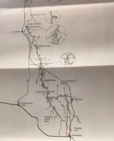
This week’s look back on Cochrane history incorporates some geography.
It comes from a request that public library archivist Ardis Proulx-Chedore got from a man looking for a map to help him go up to the James Bay coast. She dug out a retro Abitibi River canoe route map from 1987. She notes that it includes a lot of information not likely on Google Maps.
“It does list the city or the town that you’re going by,” Proulx-Chedore notes, “hospital or Red Cross outpost, rapids, portage, suggested route, because sometimes people don’t want to take the easiest path of least resistance. They want to go the hard way.”
Among things Proulx-Chedore figures you won’t get online is a list of points of interest… such as where to catch brook trout and to see graves.
As with any government publication, it has a disclaimer.
“’Please note that in all river systems, water levels fluctuate seasonally. Therefore, the Ministry cannot guarantee to accuracy of the information during the time which you travel.’”
You can catch “Archives Live” on the Cochrane Public Library’s website, every Friday afternoon at 2:30.


